Explore
Featured
Recent
Articles
Topics
Login
Upload
Featured
Recent
Articles
Topics
Login
Upload
Search Results for 'map projection'
map projection published presentations and documents on DocSlides.
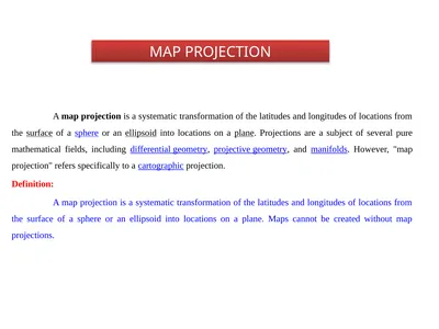
MAP PROJECTION A map projection is a systematic
by sherrill-nordquist
MAP PROJECTION A map projection is a systematic tr...
A Robinson Projection Map
by botgreat
The only kind of map that can show the Earth accur...
AP Human Geography Map Projections
by pamella-moone
& Types of maps. Map projections. Map project...
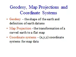
Geodesy, Map Projections and Coordinate Systems
by pasty-toler
Geodesy. - the shape of the earth and definition...
MAP PROJECTIONS
by lindy-dunigan
Representing the Earth: Globes. Why is a globe mo...
Geodesy, Map Projections and Coordinate Systems
by myesha-ticknor
Geodesy. - the shape of the earth and definition...
PROJECTION TEXTURE MAP ADEDAYO ODESILE & ROBERT BEZIRGANYAN
by jane-oiler
CSS 552 – TOPICS IN RENDERING. PROBLEM. UV Text...
Stereographic Projection
by jane-oiler
& . Sphere GCS. Celina Bolding & James H...
Orthographic Projection
by olivia-moreira
map. orthographic projection. map. orthographic p...
Map Projections No map projection is perfect and all maps
by calandra-battersby
distort a certain property. .. Definition: The re...
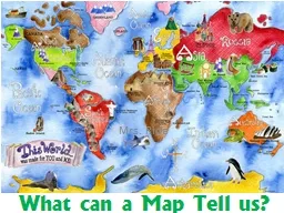
What can a Map Tell us?
by karlyn-bohler
Mrs. . Rida. Definitions. Area Distortion: . Whe...
2 Mapping Earth’s Surface
by myesha-ticknor
Making Maps. Map maker – cartographer. Collect ...
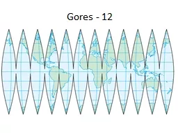
Gores - 12
by calandra-battersby
Cylindrical Projection. Goode Projection. Mercato...
Spatial Referencing
by olivia-moreira
GIS for Environmental Engineering. Spatial Refere...
Today:
by karlyn-bohler
Projections and Cartographers. First 10 Minutes: ...
From Globes to Maps
by olivia-moreira
Globe. is a three-dimensional scale model of Ear...
Teacher Directions Print slides 2-12 in full size format onto cardstock.
by briana-ranney
Laminate boards.. Use Slide #2 to read the defini...
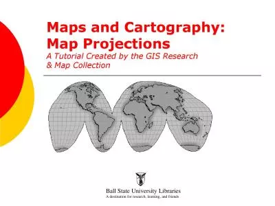
Maps and Cartography
by lucinda
Map Projections A Tutorial Created by the GIS Rese...
Why is there distortion in map making?
by kittie-lecroy
Vocabulary. Distortion: Changing the shape of som...
Why is there distortion in map making?
by liane-varnes
There are certain things that must be on a map…...
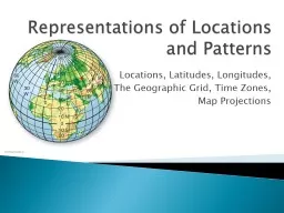
Representations of Locations and Patterns
by test
Locations, Latitudes, Longitudes, . The Geographi...
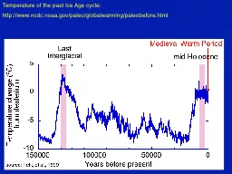
Temperature of the past Ice Age cycle:
by phoebe-click
http://. www.ncdc.noaa.gov. /. paleo. /. globalwa...
Coordinates and Projections
by olivia-moreira
Foundation of spatial analysis + mapping. Cartesi...
Projection Texture Mapping
by danika-pritchard
ROBERT BEZIRGANYAN & ADEDAYO ODESILE. CSS 552...
ALL Maps Distort … Distance, or
by ellena-manuel
Direction, or. Shape, or. A combination of the ab...
Projections and Coordinate
by alida-meadow
Systems. Acknowledgements: Barron Orr, AZ Geospat...
Representations of Locations and Patterns
by lindy-dunigan
Representations of Locations and Patterns Locatio...
Map Projections Students must be able to identify and understand the following projections.
by cheryl-pisano
Mercator. Polar. Robinson. Mercator Projection. M...
Maps and GIS
by alida-meadow
Historical Maps. The oldest map?. Konya . town ma...
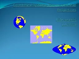
Coordinate Systems,
by briana-ranney
Datums. and Map . Projections. D’Arcangelis. 1...
CARTOGRAPHY
by ellena-manuel
S. C. I. EN. C. E. , . ART. . &. . TECHNOLO...
UNIT 1: FOUNDATIONS OF GEOGRAPHY
by debby-jeon
Def. : the study of Earth and its people. View th...
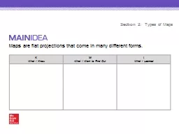
Maps are flat projections that come in many different forms.
by ellena-manuel
Section 2: . Types of Maps. K. What I Know. W. W...
APHG Review Unit 1 : Geography, Its Nature and Perspective
by conchita-marotz
Key Terms. Absolute Distance . A distance that ca...
Maps and GIS Historical Maps
by melanie
The oldest map?. Konya . town map, Turkey, c. 6200...
Figures for Busy People : Using Panoply to display and animate ABI Aerosol products
by pamella-moone
Rebekah Esmaili, GOES-16 Algorithm Working . Grou...
Introduction to Geographic Information Systems
by tawny-fly
Spring 2013 . (INF 385T-28437). . Dr. David Ar...
Alexandru Dancu
by marina-yarberry
1 . . Mickael Fourgeaud. 1. Mohammad Obaid. 1. 1...
Generic Mapping Tools (GMT)
by alexa-scheidler
Maps. #!/bin/bash. psbasemap. -R0/100/0/10 -JX5i...
Dynamic Choreographies
by kittie-lecroy
Safe Runtime Updates of Distributed Applications....
Load More...